KANANASKIS COUNTRY TRIP REPORT
I recently posted a photo essay of my 3-day backpacking trip in Alberta’s Kananaskis Country. But I wanted to do up a trip report with a few more details in case anyone is interested in more practical information about my time there.
In total, I spent four nights in Kananaskis Country. One night was spent car camping and the other three in the backcountry. Below, you’ll find information about where I stayed, the route I hiked, and how you can do this trip yourself!
This post may include affiliate links. As an Amazon Associate I earn from qualifying purchases. Find more info in my privacy policy.
Car Camping at Sundance Lodges
My first night was spent at Sundance Lodges, a beautiful campground and a great option for those looking for a more traditional car-camping experience.
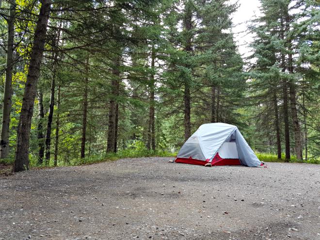
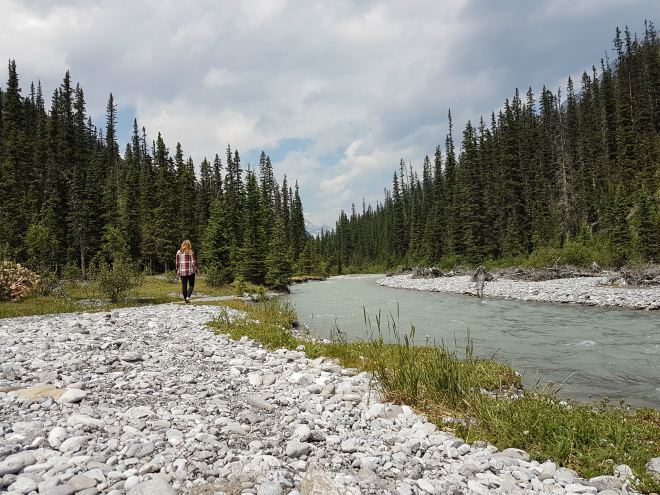
They also rent out tipis and trapper’s tents in the case that a trailer, RV, or tent isn’t an option for you. The campground provides nicely-treed sites, a central store/shower house/bathroom and a short trail down to the river where you can see views like these:
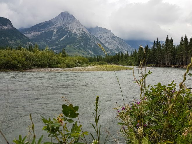
Sundance Lodges is only an hour from Calgary and I would highly recommend it. For more information and to make a reservation check out their website.
Backpacking in Peter Lougheed Provincial Park
For the 3-day backpacking trip I followed an itinerary recommended on the Alberta Parks website. This route took me to two different backcountry campgrounds, Point and Forks. In total, I hiked 25.8 kilometers over the three days. The hike was located within Peter Lougheed Provincial Park and took me around the Upper Kananaskis Lake Loop, with a short out-and-back to the Forks Campground which is located along the Three Isle Lake Trail).
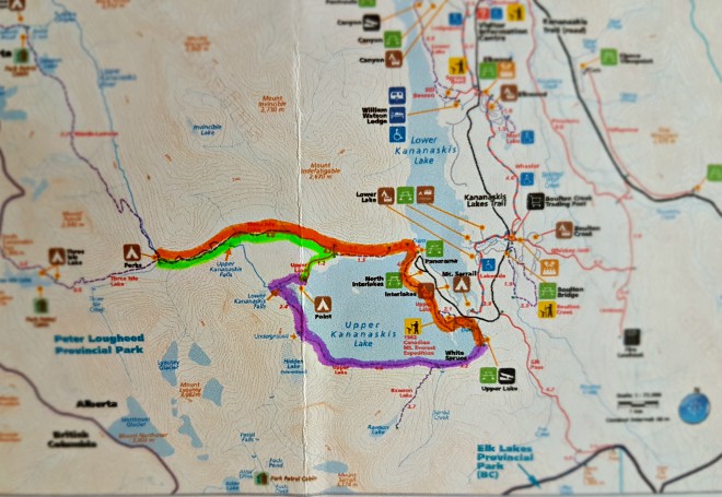
A map of my route. Day 1 = purple; day 2 = green; day 3 = orange.
Day One – Upper Lake Day Use Area to Point Backcountry Campground
Distance: 7.3 km
When done as a day-hike, the Upper Kananaskis Lake Loop is most often hiked in a counterclockwise direction from the North Interlakes Day Use Area. The entire loop totals 15.7 km.
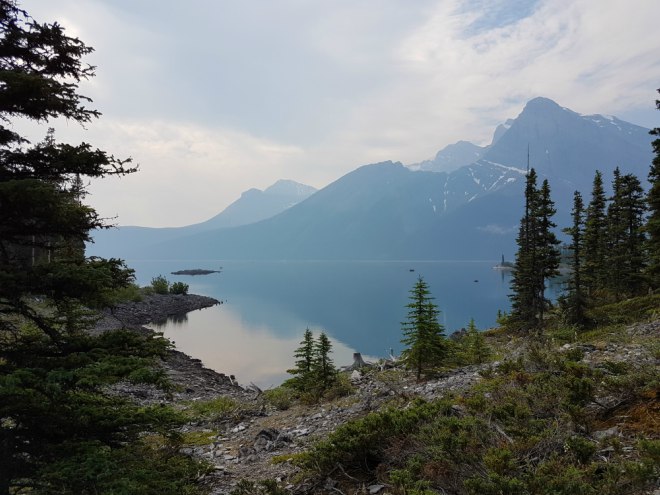
I decided to hike in a clockwise direction and leave from the Upper Lake Day Use Area. This took me along the southern shore and up to the Point Campground for my first night.
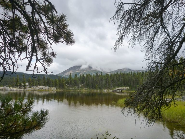
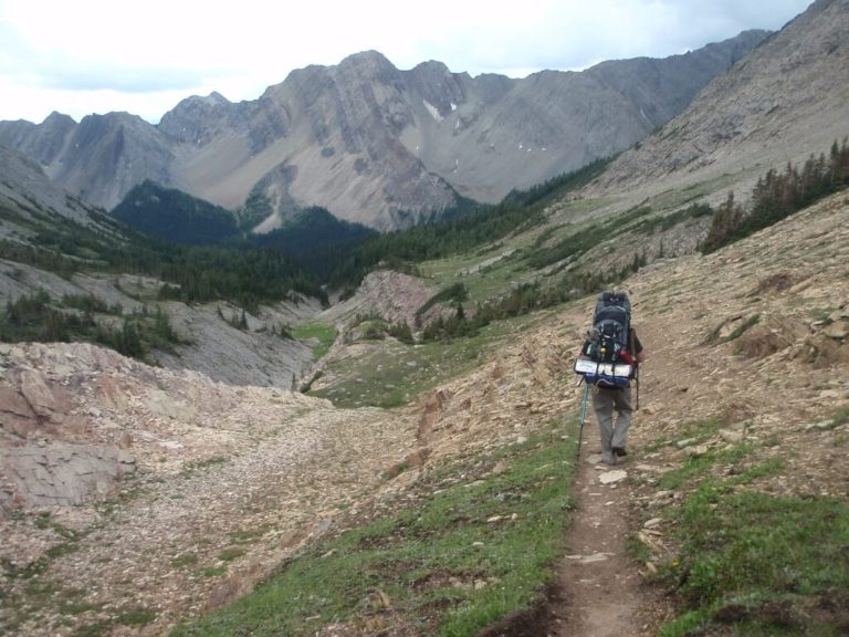
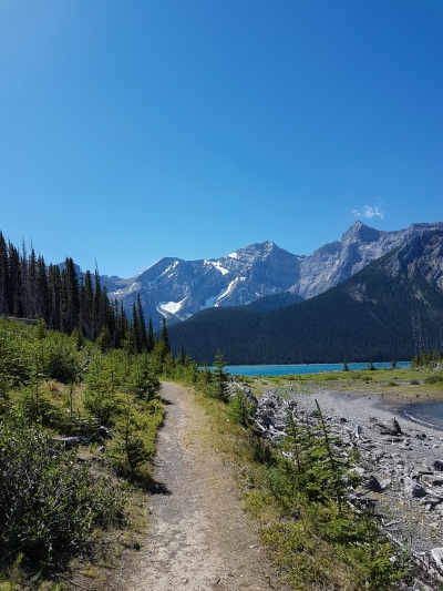
The trail was well-maintained and easy to follow. For the most part, it ran alongside the lake with a few ups and downs. Closer to Point Campground, the trail moves up and away from the lake and deeper into the forest before returning to the campground.
Point Campground contains 20 private tent sites on a first come, first served basis. It also has outhouses and bear-proof food storage lockers. Fire rings and picnic tables are located within each site. I stayed in site #16 which provided views of the mountains, access to the lake, and was wonderfully private.
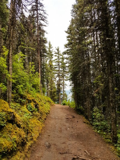

Day Two – Point Backcountry Campground to Forks Backcountry Campground
Distance: 6.4 km
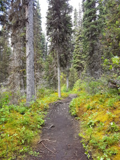
I continued to follow the Upper Lake Loop away from Point Campground, through the Palliser rockslide and to the Three Isle Lake trail junction. From there, it was another 5 km to the Forks Backcountry Campground. The trail continued to move away from the lake and deeper into forest. Once again, elevation gains were limited to moderate ups and downs. Wood bridges spanned any river or stream crossings. The Trail passes through another rockslide nearer the campground before meandering through a swampy area where boardwalks provide a dry crossing.
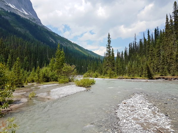
The Forks Backcountry Campground has 16 sites located along the Upper Kananaskis River. The sites are less private than those at Point and the firepits, food storage, and picnic tables are all located in one, centralized area. Easy access to the river provides an ample water source and great views. Sandy patches along the river make for a wonderful spot to spend an afternoon.
Day Three – Forks Backcountry Campground to Upper Lake Day Use Area
Distance: 12.1 km
I returned to the Three Ilse/Upper Lake trail junction and then completed the loop by following the trail around the north edge of the lake and then back to the Upper Lake Day Use Area.
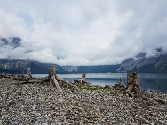
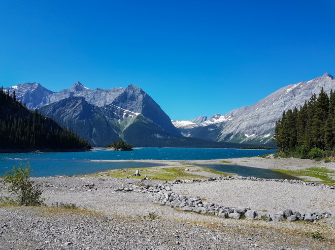
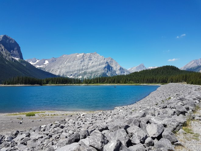
The remainder of the loop continued to undulate around the lake before crossing the dam near the North Interlakes Day Use Area. From there, the trail followed the edge of the lake and offered up spectacular views of the water and mountains. Side trails provided access to the rocky beaches which are riddled with driftwood tree stumps left over from logging days. Another dam is crossed just prior to the Upper Lake Day Use Area which, on a nice sunny day, was busy with families picnicking and boats on the water.
Things to Know:
- Permits are required for those staying in backcountry campgrounds. They can be reserved online via the Alberta Parks website.
- Trail information, maps, advisories, and updates can also be found on the Alberta Parks site.
- Kananaskis Country is also bear country. Follow bear safety practices and carry bear spray.
- While there are no major elevation gains along any point of this trip, the ups and downs of the trail make it somewhat challenging, especially under the weight of a pack.
- There is no cell service in Peter Lougheed Provincial Park.
- Firewood and axes are provided at backcountry campgrounds. Collecting and burning dead wood is prohibited.
I thoroughly enjoyed my time spent in Kananaskis Country. I found the route to be a perfect and not-too-challenging choice for my first time backpacking solo. The shorter distances meant less time on the trail and plenty of time for setting up camp, cooking, and relaxing. For those looking for more of a challenge, there are a number of trails that continue on from Forks campground and provide access to the Height of the Rockies Provincial Park in British Columbia.
You can find more of my adventures in Kananaskis Country here:
Kananaskis Country Backpacking: Photo Essay
Galatea Creek Trail Trip Report: Backpacking to Lillian Lake Campground
